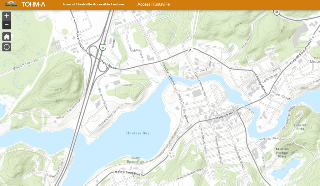
The Town of Huntsville has announced the launch of its new mapping webpage and Town of Huntsville Map (TOHM) Explorer. This robust site provides residents, businesses, developers, and visitors with easier access to comprehensive mapping tools and geographic data.
The new webpage serves as a central hub for mapping resources, bringing together a variety of map sources and tools in one convenient location. The site includes an enhanced version of the TOHM Huntsville Interactive Map, which is a powerful, user-friendly platform that allows the public to view, explore, and analyze detailed data in Huntsville.
This new Interactive Map enables users to:
- Explore Community Planning Permit (CPP) precincts and land use designations
- View all heritage-designated areas and short-term rental locations
- Discover the many parks, trails, and Town-owned properties
- Learn about Firearms Boundaries, Transit, and what Accessibility Features are located throughout the town
- Print and create maps using the data provided
- Overlay multiple data layers for deeper insights
- Analyze community features and services
Residents and stakeholders are encouraged to explore the Map Explorer and discover the enhanced capabilities of the Interactive Map by visiting the Town’s website.
From the Town of Huntsville
Don’t miss out on Doppler!
Sign up here to receive our email digest with links to our most recent stories.
Local news in your inbox so you don’t miss anything!
Click here to support local news
0 Comments