Updated on Friday, March 14 at 5:14 a.m. by Environment and Climate Change Canada
Description
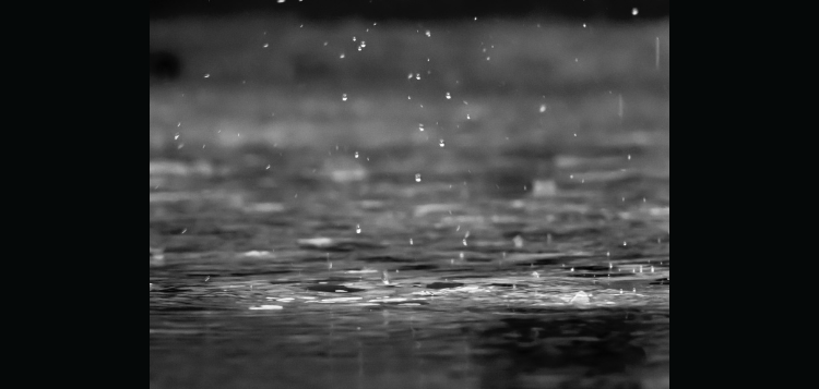
Significant rainfall is possible this weekend, impacting areas including Muskoka and the Almaguin region. The frozen ground has a reduced ability to absorb this rainfall.
What:
Total rainfall amounts of 20 to 40 mm with locally higher amounts possible.
When:
Saturday evening through Sunday night.
Additional information:
Rain, at times heavy, is expected Saturday night into Sunday. With a risk of thunderstorms, local rainfall amounts in excess of 40 mm are possible over some areas.
Localized flooding in low-lying areas and water pooling on roads are possible.
For information concerning flooding, please consult your local Conservation Authority or Ontario Ministry of Natural Resources and Forestry office. Visit Ontario.ca/floods for the latest details.
Please continue to monitor alerts and forecasts issued by Environment Canada.
Don’t miss out on Doppler!
Sign up here to receive our email digest with links to our most recent stories.
Local news in your inbox so you don’t miss anything!
Click here to support local news
At a time when we should be getting light to moderate snow, climate change has increased our temperatures so we can expect heavy rain. Spring has come even earlier this year. Our lowest recorded temperature this past winter was a full ten degrees higher than the lowest we had three decades ago. We had no sustained cold temperature below-22C. It amazes me how people either think that this is normal, or good for us.