Environment Canada is calling for more snow, expected to hit the Muskoka and Almaguin area on Friday night or early Saturday.
Snowfall accumulations expected of 20 to 40 cm. Locally higher amounts are possible.
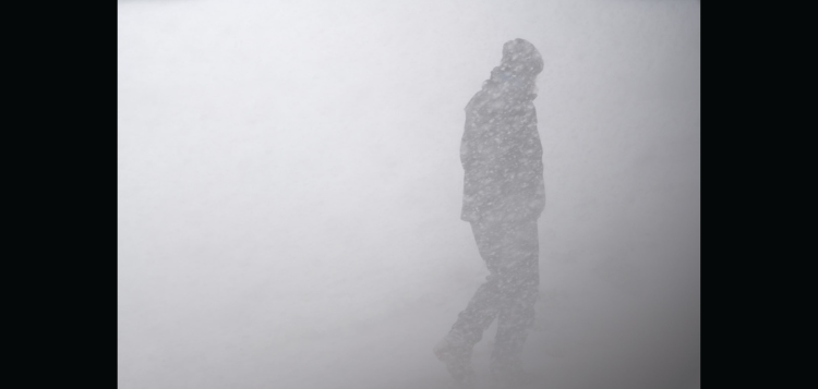
Poor visibility in areas of heavy snow and blowing snow, with peak snowfall rates of 5 to 10 cm per hour expected.
When:
Beginning tonight or Saturday morning, and ending Saturday night.
Additional information:
Lake effect snow squalls are expected to develop tonight near Georgian Bay, and further intensify Saturday morning. It is possible that a very intense snow band will affect portions of the area during the day Saturday. If this band becomes stationary, amounts in excess of 40 cm will be possible.
Westerly winds gusting up to 50 km/h will create areas of blowing snow, further reducing visibility.
The lake effect activity is expected to shift south of the area Saturday night as winds become more northerly.
Travel may be extremely hazardous. Visibility may be suddenly reduced to near zero at times. Road closures are possible.
Please continue to monitor alerts and forecasts issued by Environment Canada.
For more information about Environment Canada’s alert program, click HERE.
Consider rescheduling travel and outdoor activities.
Don’t miss out on Doppler!
Sign up here to receive our email digest with links to our most recent stories.
Local news in your inbox so you don’t miss anything!
Click here to support local news
0 Comments