The District has launched a survey to collect user feedback to help design the future of its web mapping system. The District will replace the current Muskoka Web Map service (map.muskoka.on.ca) with a new up-to-date system, and would like to learn which features users value the most.
The feedback survey is open until November 24, 2017 and can be accessed at: https://www.surveymonkey.com/r/MuskokaWebMapSurvey
“We are asking our users to give us feedback on the web mapping system; i.e. the things you like, the things you find difficult, and features that you would like to see in the future,” said Samantha Hastings, Commissioner Planning and Economic Development, District Municipality of Muskoka.
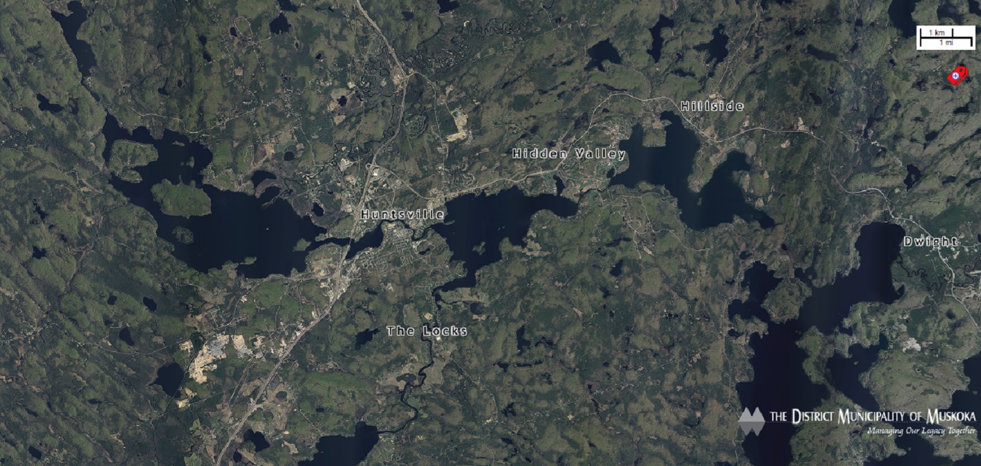
The Muskoka Web Map is an online mapping application available at no charge to public and contains interactive maps and various geographic data. In addition to viewing air photos, Muskoka Web Map users can use the application to search out properties, view parks and crown land, measure distances and areas, search coordinates and more. The current system will continue to be available while the new one is being developed.
“We have received a lot of valuable feedback on the web map over the past nine years, but we wanted to make sure we give all of our users an additional opportunity to evaluate the system in a quick five minute survey,” explains Graham Good, Manager of Geomatics at the District Municipality of Muskoka.
The Muskoka Web Map is produced by the District Municipality of Muskoka’s GIS section. Please send questions and/or comments to [email protected] or follow on Twitter @muskokagis. Visit the website at map.muskoka.on.ca where you can find a link to the survey.
Don’t miss out on Doppler! Sign up for our free newsletter here.
0 Comments